|
 |
 |
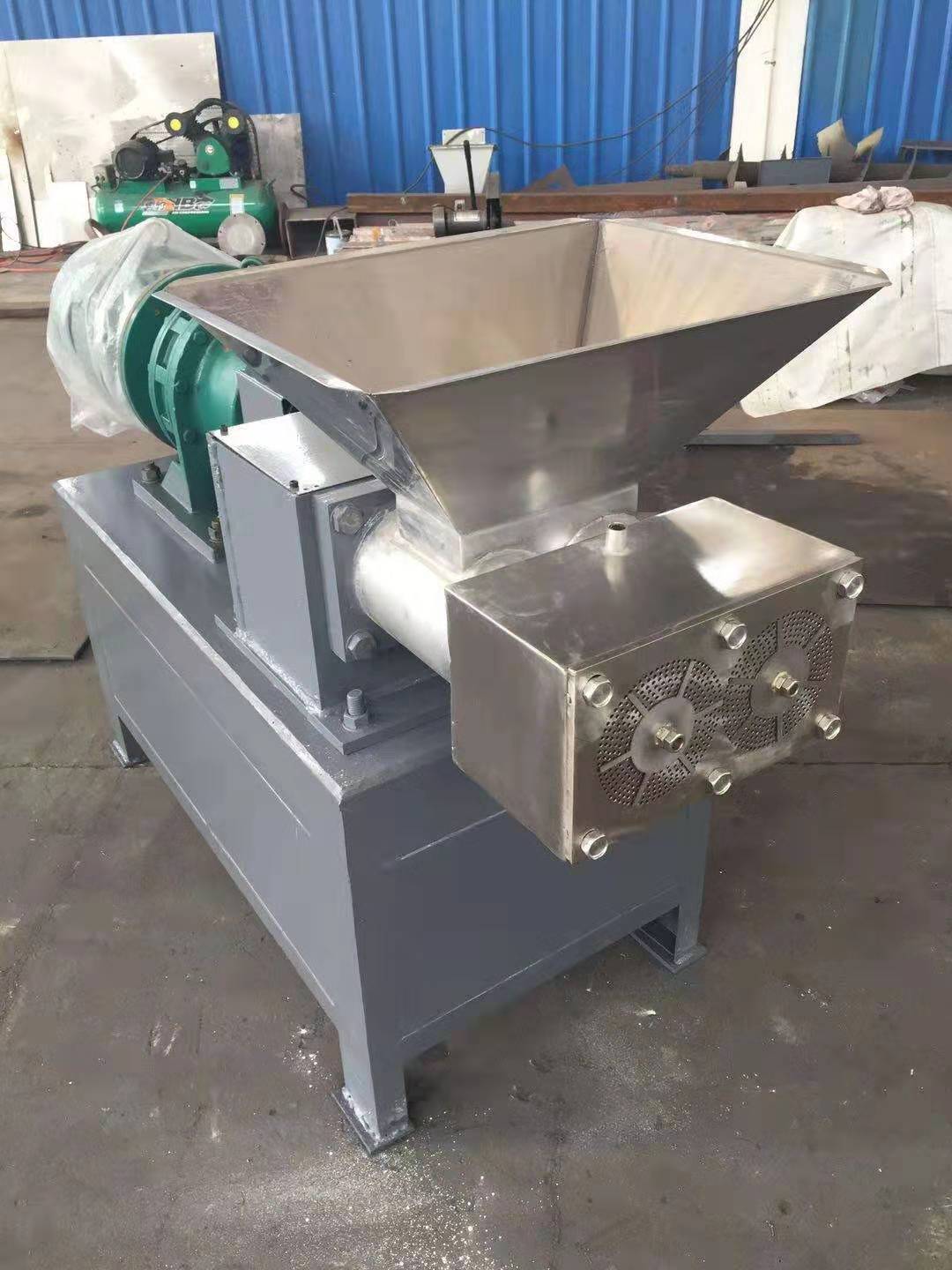
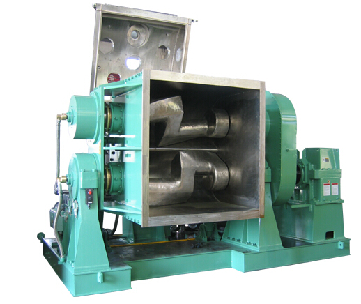
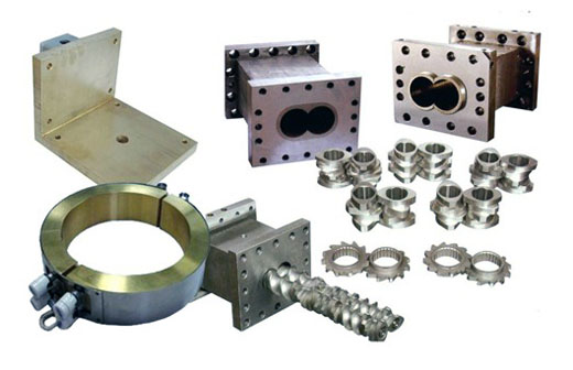
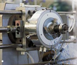
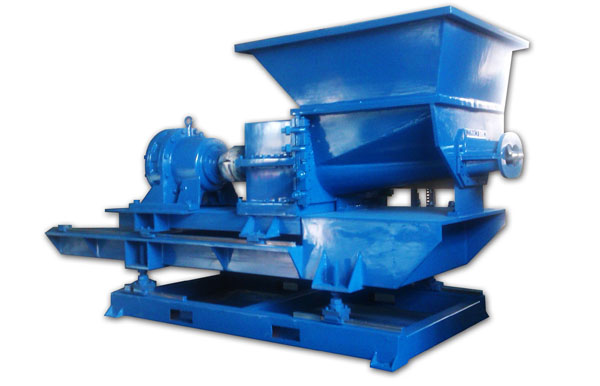
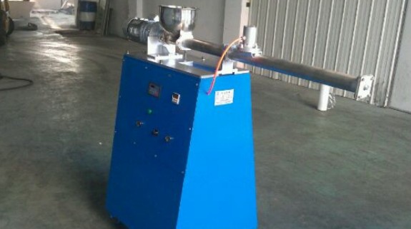
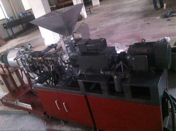
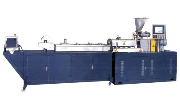
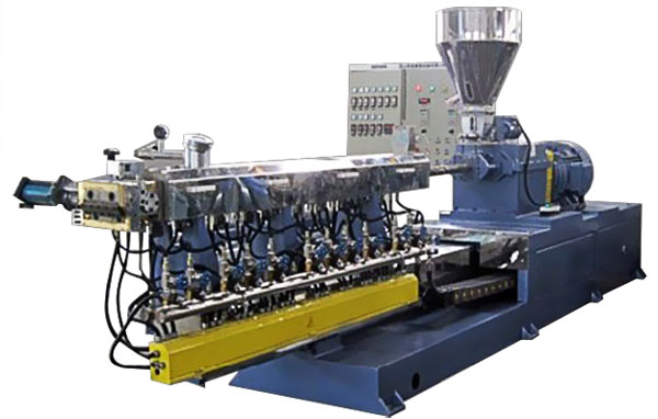
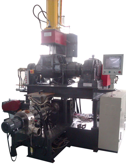
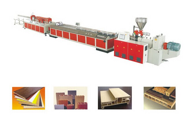
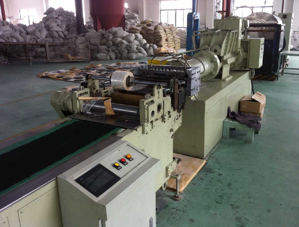
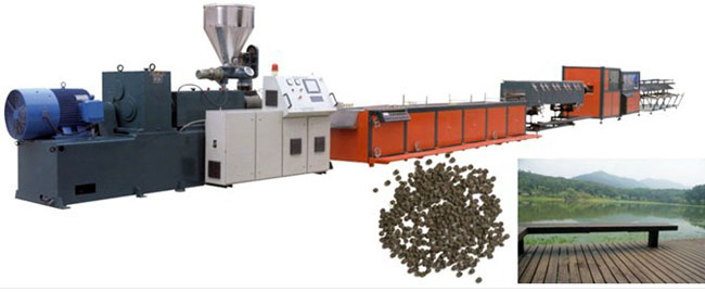
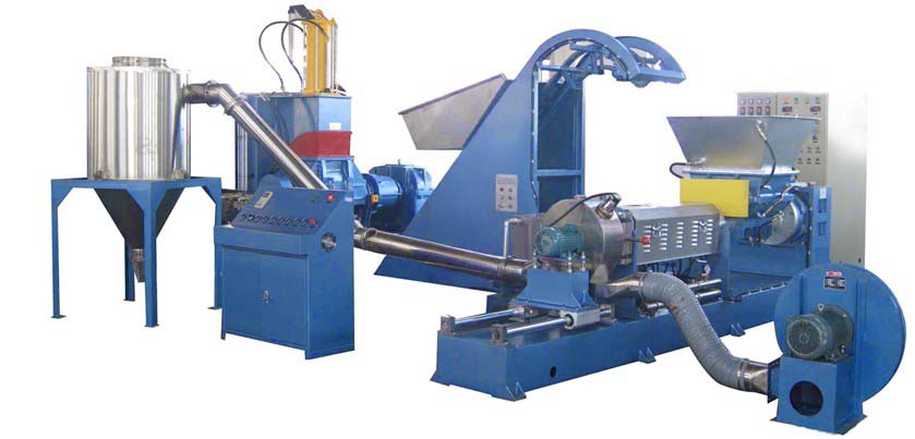
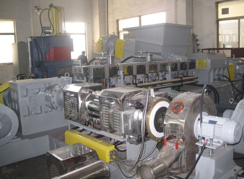
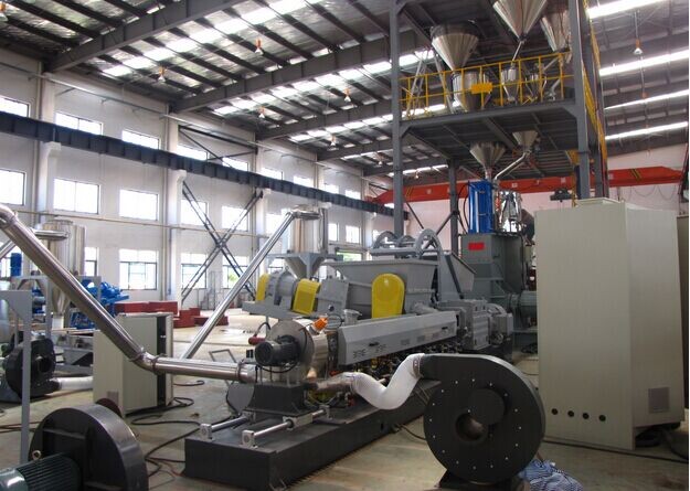
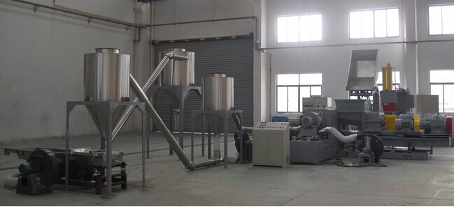
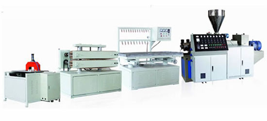
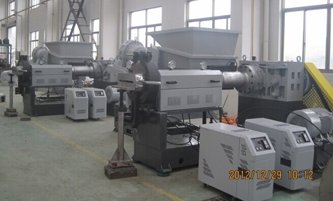
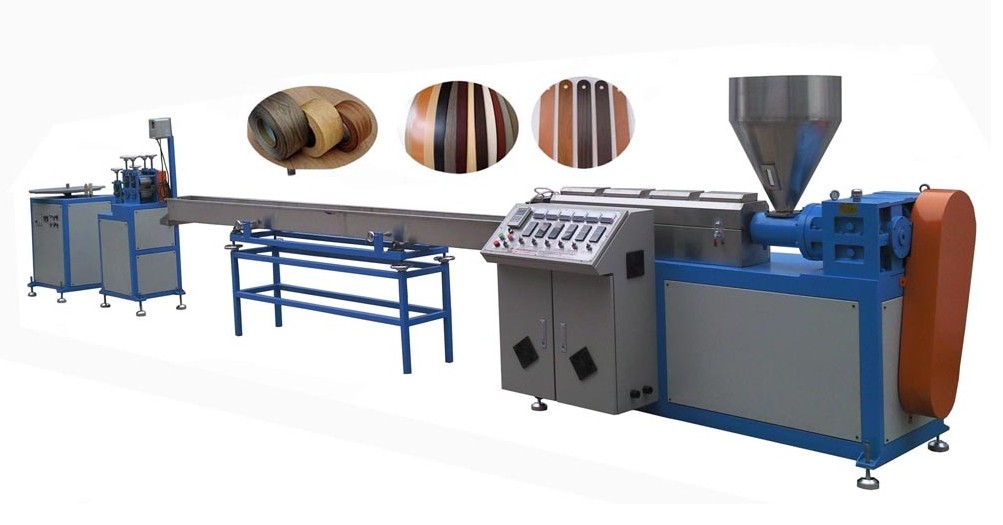
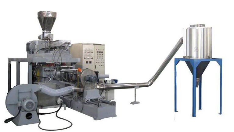
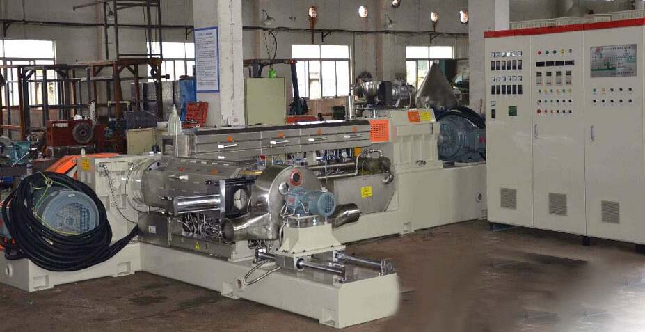
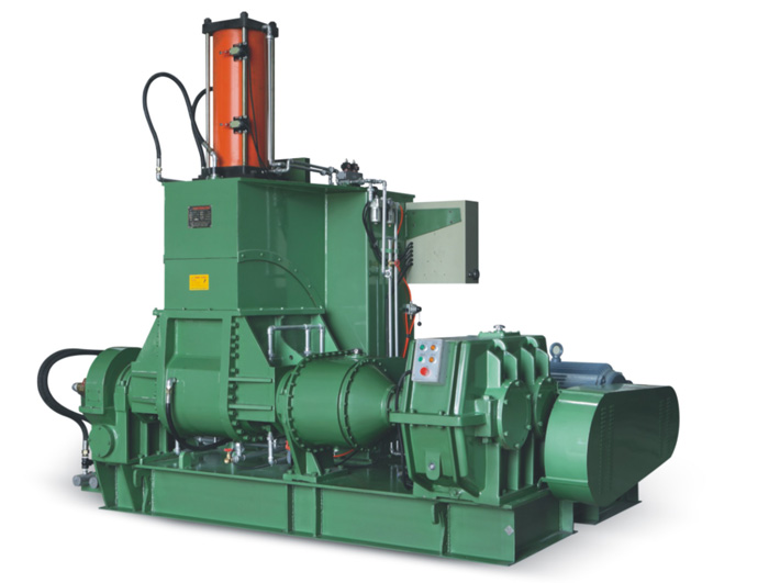
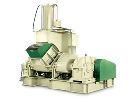
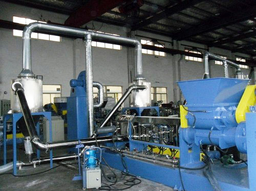
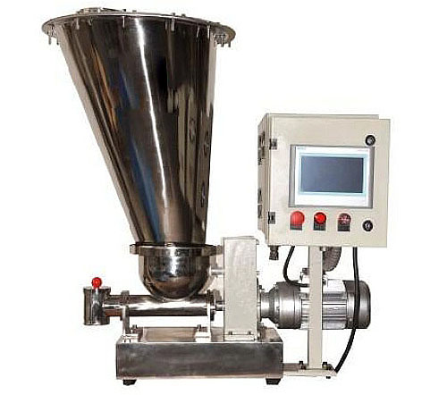
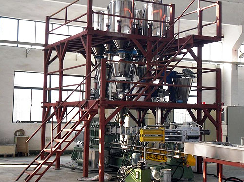
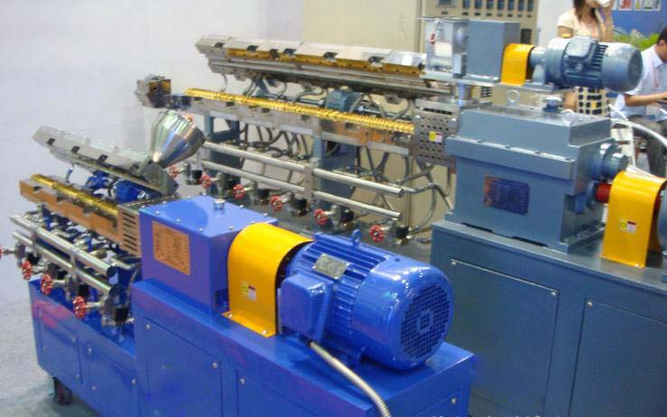
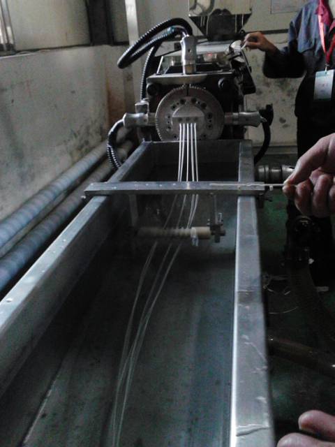
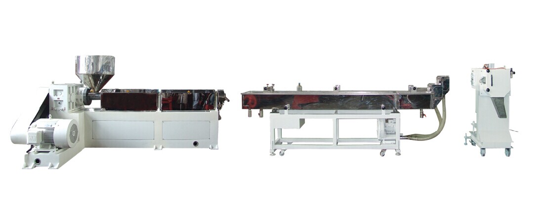
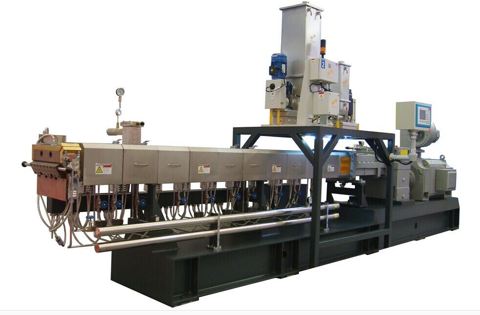
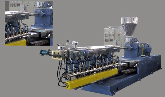
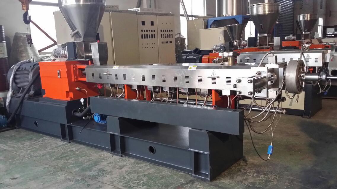
如皋市名川機(jī)械制造有限公司位于有著世界著名長壽之鄉(xiāng)名號的如皋市��。我們是一家集設(shè)計(jì)研發(fā)�����,生產(chǎn)制造��,銷售服務(wù)為一體的高新技術(shù)型生產(chǎn)廠家����,致力于密煉機(jī)組和單雙螺桿機(jī)組的研發(fā)生產(chǎn)和銷售����。
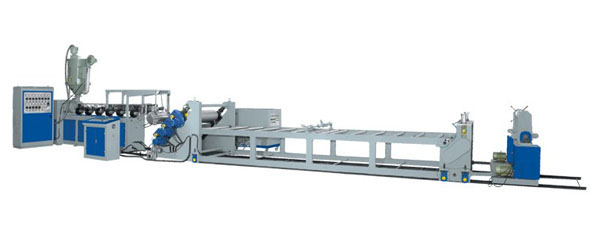
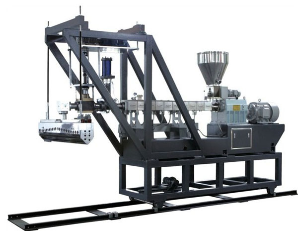
公司擁有完善的研發(fā)設(shè)計(jì)團(tuán)隊(duì),優(yōu)秀的機(jī)械工程師��,可以根據(jù)客戶的具體情況��,量身定做各種擠出機(jī)生產(chǎn)線,以滿足每位客戶的各種應(yīng)用需求�。
|
|
|
 |
| 電話: |
15162635179 |
| 傳真: |
15162635179 |
| 手機(jī): |
15162635179 |
| 郵箱: |
1356668588@qq.com |
| 網(wǎng)址: |
http://www.jpsjx.com |
| 郵編: |
226500 |
| 地址: |
江蘇省南通如皋市紅星工業(yè)園 |
|
|